Namsvatnet
Namsvatnet on the southern side of the national park is a popular gateway.
Park your car at the car park at the end of route 7022 and then continue by boat across lake Namsvatnet. There are scheduled services every day during the summer season (15 July – 31 August). The boat calls at Børgefjellfoten, Storelva, Orvasselva and Storvika. Advance bookings are required. Please call +47 92 43 53 83 to book.
From the pier at Storelva, you can walk to Djupvatnet, Blyvatnet, Jengelvatnet or Gaukaren, which are all noted fishing lakes in this area. Fishing enthusiasts will also discover many smaller lakes and tarns. There is a wooden walkway up to lake Djupvanet. Start from the pier at Orvasselva if you plan to hike in the Orvassdalen valley, or Storvika for hikes in the Beinvass area.
The Virmahytta hut at Storelva is open for mountain hikers during the summer months.
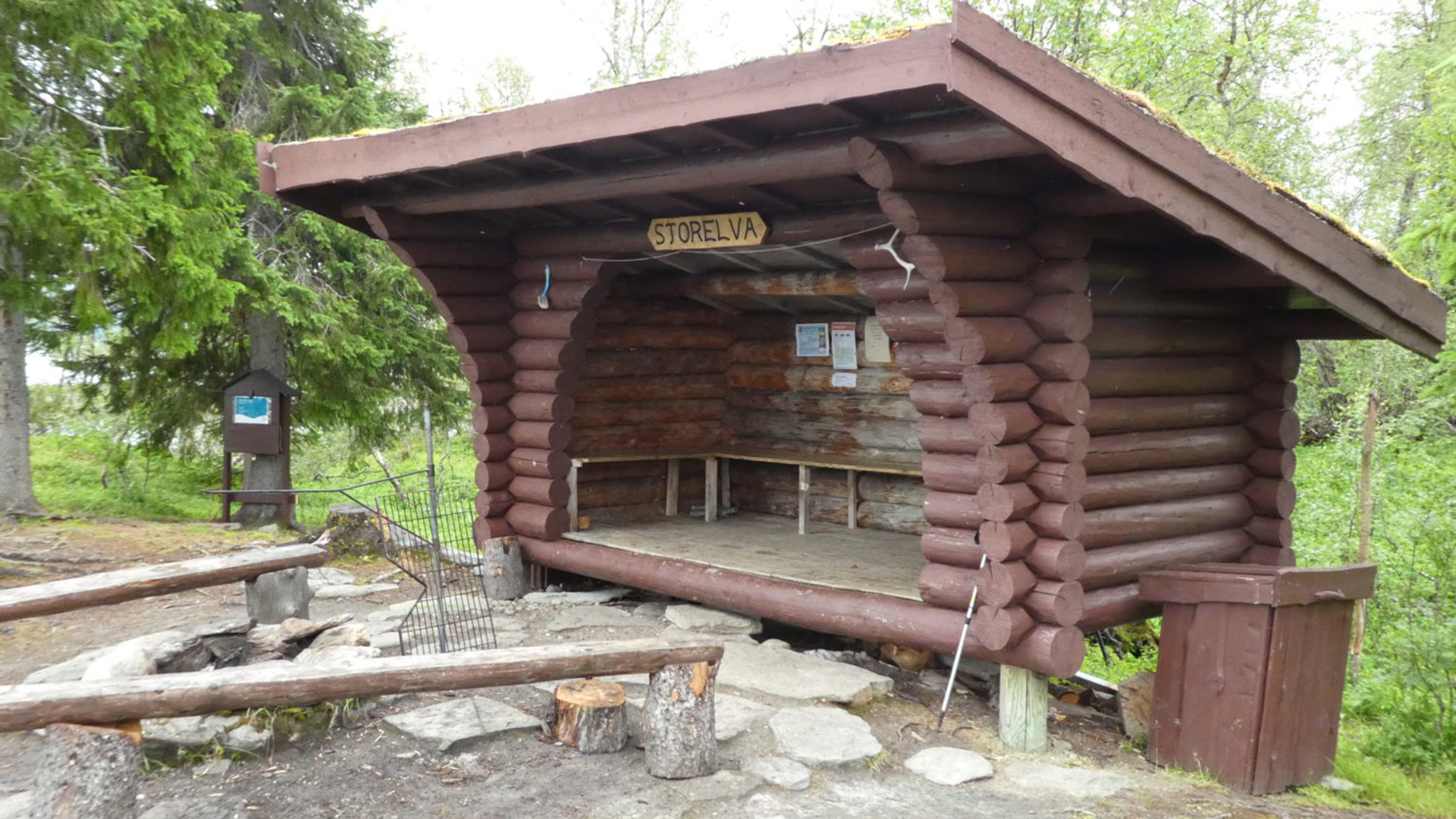
The rustic shelter at Storelva is a wonderful place to end your hike in the Børgefjell National Park and wait for the boat across the lake.
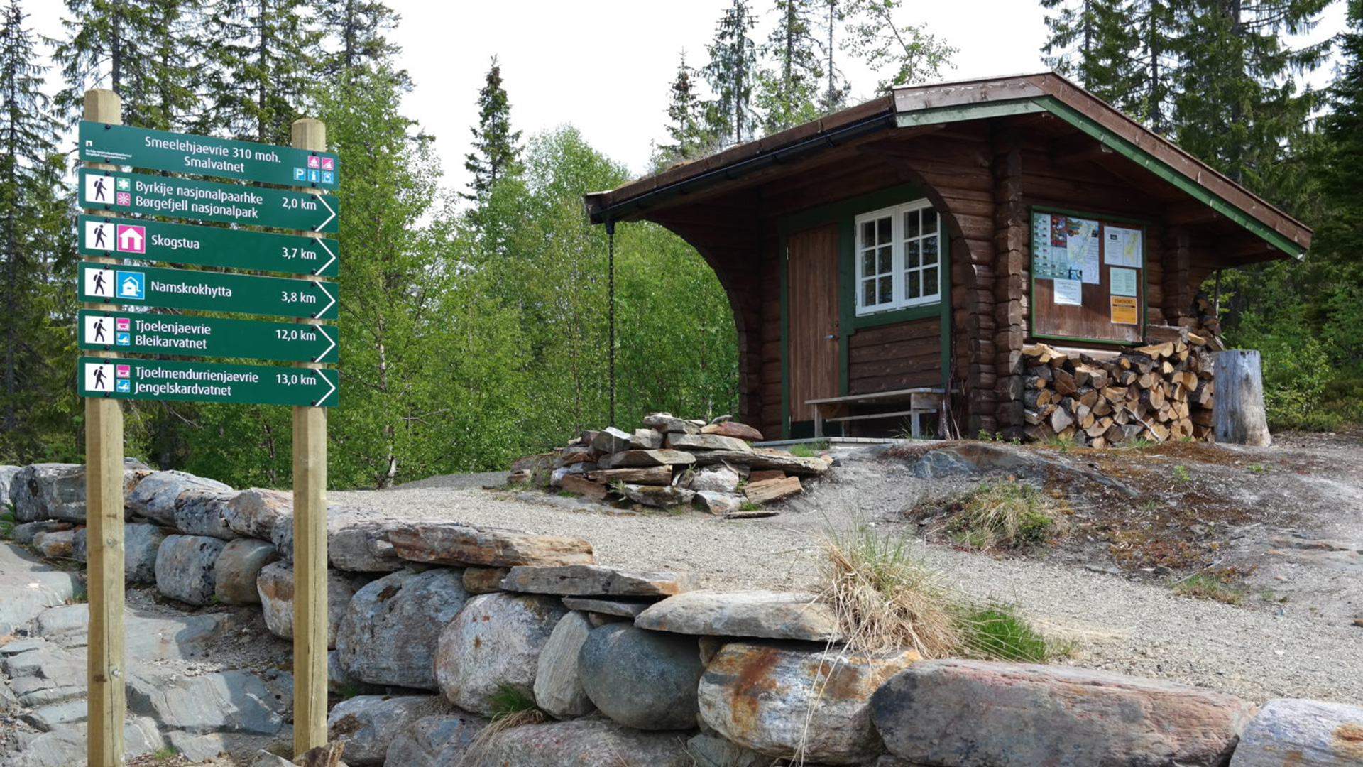
The gateway at Smalvatnet is the starting point of the trail to Namskroken.
Smalvatnet
In the southwestern part of the national park, you will discover lakes Bleikarvatnet and Jengelskardvatnet, as well as many smaller lakes and tarns. This area is of interest for those wish to hunt, enjoy wonderful fishing experiences or hike in fantastic nature.
The gateway at lake Smalvatnet is an excellent starting point for your hike. The route goes via Namskroken, where you meet the river Namsen with its waterfalls and distinctive wide stretches resembling small lakes. At 330 m above sea level, Namskroken is the lowest point of the national park and consists of a lot of old spruce forest.
You can continue up Bleikarlia and you will experience the mountain landscape above the tree line.
From this gateway, you can also enjoy a nice day hike on the wooden walkway to the cabins in Namskroken owned by the Namsskogan Mountain Board.
The gateway at Smalvatnet is signposted on the E6 highway at Smalåsen. Follow the signposts to the car park. Please note that you need to cross an unsecured railway crossing.
This gateway is not accessible by car during the winter months as snow on this road is not cleared.
Tomasvatnet
To reach the starting point of the Jengel trail, follow the signposts from the E6 highway at Majavatnet to the end of the road at lake Tomasvatnet. Park your car here before continuing up the road to Hesjevollen. Continue to the end of the road, where the start of the trail is signposted.
The Jengel trail has a wooden walkway up to lake Orekvatnet. There is a bridge across the Storelva river, which you can use if the water level is too high to use the ford. The bridge is approx. 600 m upstream from the ford. The Jengel trail leads to central parts of Børgefjell National Part, where you will discover noted fishing lakes such as Jengelen, Lille Kjukkelvann and Gaukaren.
At Gaukaren, you will find the Jengelbua hut and Jengelhytta cabin, which are rented out by the Grane and Vefsn Association of Hunters and Anglers respectively.
Tomasvatnet is also an option for those wishing to go on a day hike. From the national park boundary at Storelvhøgda, you can enjoy a wonderful view of Orekskardet.
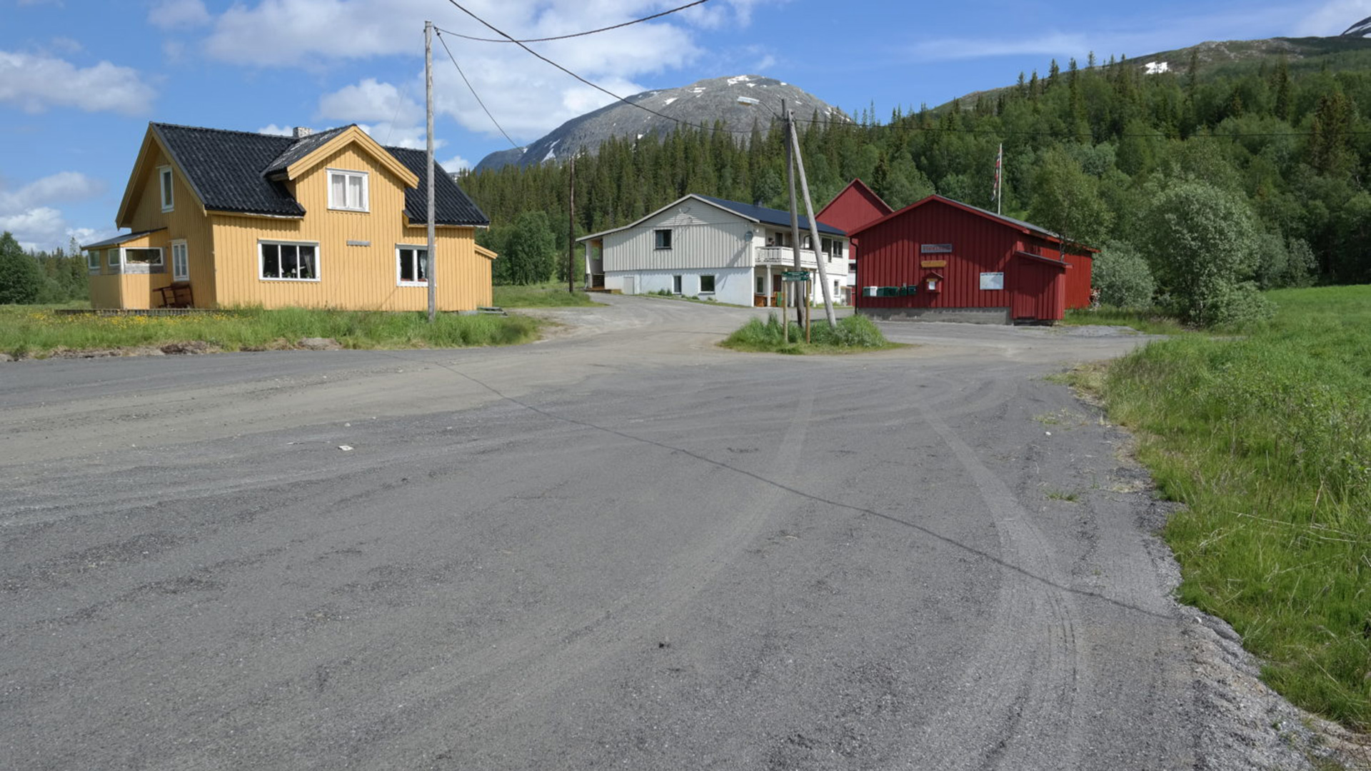
Park at lake Tomasvatnet and walk approx. 1 km to the start of the hiking trail.
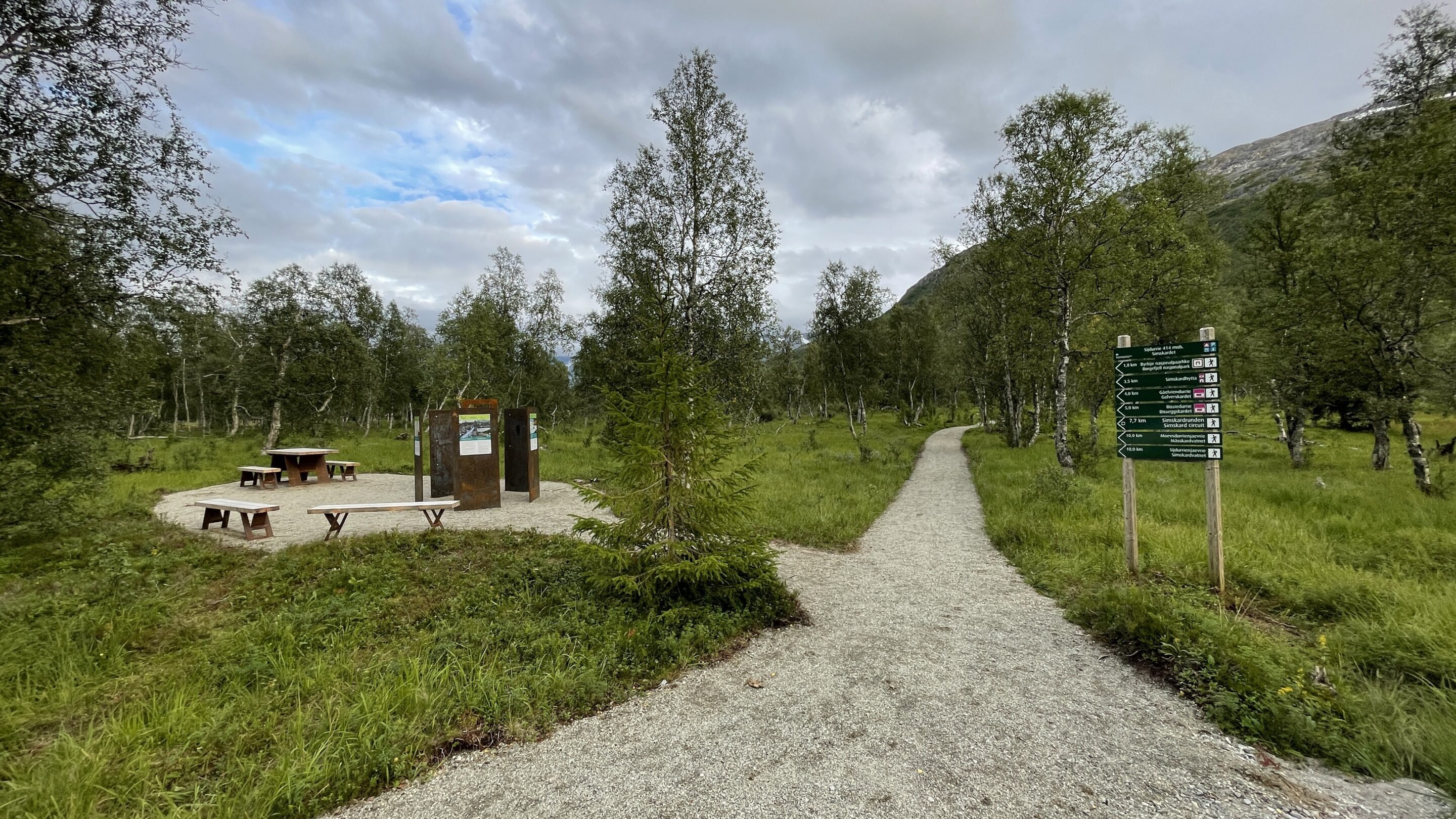
From the starting point, it is 1.8 km to the national park border
Simskardet
Many choose Simskardet as a starting point for hikes in the western part of Børgefjell National Park.
The trail leads from the car park along the banks of the Simskardelva river in flat terrain, which is easy to walk. After 3.5 km, you will reach the Simskardhytta, which is an open hut. There is no clearly marked trail from here, so you need to bring a map and compass if you plan to continue further into the national park.
The Simskard circuit is an excellent option for those wanting a taste of Børgefjell without embarking on a multi-day hike. You can walk on a wooden walkway along the banks of the Simskardelva river to the Simskardhytta hut. On the way back, you can take the trail on the other side of the river. Bridges have been constructed across the river and the trails cross these.
The western part of the Børgefjell National Park is dominated by high mountain peaks and deep valleys. Many of the peaks are above 1,000 m. Kvigtind (1,699 m) is the highest mountain in the national park and is a popular drawcard for many mountain climbers. The most common route starts at Simskardet and goes via the Bisseggdalen valley and lake Måsskardvatna before heading up the northern side of Kvigtind. Simskardvatnet and Måsskardvatna are the largest fishing lakes in this area and it’s well worth checking if the fish are biting.
This gateway is not accessible during the winter months. If you visit at that time, use the established parking place by the turnoff to Simskardet.
Øyum
The gateway of Øyum is situated in the Susendalen valley, north of the national park. This is an excellent starting point for exploring the norther parts of Børgefjell. It’s just 200 m from the car park to the national park boundary, making this the shortest way into the national park.
It’s a 7 km hike from the car park to lake Legdvatnet. After a “fresh” start, the terrain flattens out. The terrain from the lake further into the national park is easy going.
The trail up to the crossing of the river Litle Susna is a wooden walkway, making it a good option for a day hike. When you get higher up, you will be rewarded with nice views of the Susendal.
Drive on route 804 from Hattfjelldal to Susendal. Turn off at Ivarrud and follow the signposts to Sørmo. The gateway is situated approx. 500 m south of the farm at Sørmo.
This gateway consists of a large car park with a rustic shelter, outhouse and tables/benches. This car park is not ploughed during the winter.
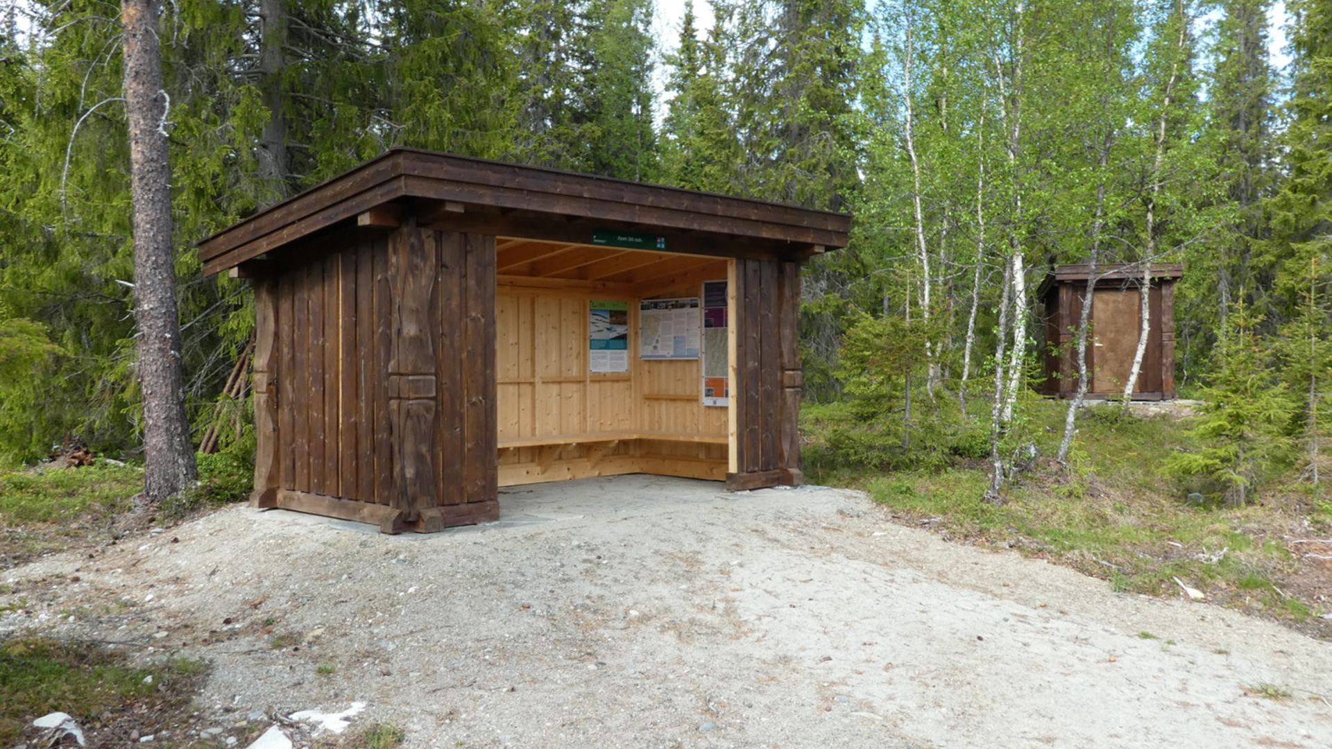
There is a nice rustic shelter, outhouse and tables/benches at Øyum.
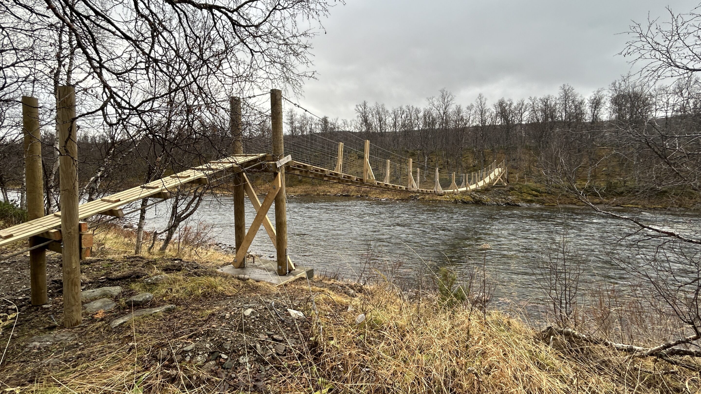
A suspension bridge crosses the Susna river just 300 m from the start of the trail.
Oksvollen
The Austre Tiplingan/Luvlie Diehpell protected landscape is situated in the northeast of Børgefjell.
The lakes Vestre Tiplingen, Austre Tiplingen and many smaller lakes and tarns are in this area. There is a rich bird life here, especially wetland birds.
The gateway of Oksvollen is the starting point for hikes in this area. There are suspension bridges across the Susna and Tiplingelva river, the latter of which flows between lakes Vestre Tiplingen and Austre Tiplingen (Note: The bridge over the Tipling River was destroyed by flooding in the winter of 2025 and will not be passable in the summer of 2025). The rental Tiplingen skogstue is situated on the shores of lake Vestre Tiplingen.
Oksvollen is also the starting point for hikes further into Børgefjell.
Drive on route 804 from Hattfjelldal to Susendal. Turn off at Ivarrud and follow route 7338 to Kroken. Follow this road into the Harvassdalen valley. The car park is situated beside the road and is signposted. This gateway consists of a car park, information board and signposts to the start of the trail.
