Børgefjell remains a pristine nature area with few physical adaptations like marked trails, signs and tourist association cabins. You need to largely find your own here way using a map and compass or GPS. However, there are some bridges that it’s worth knowing about when you are planning hikes in the Børgefjell area. This page provides information about the various bridges.
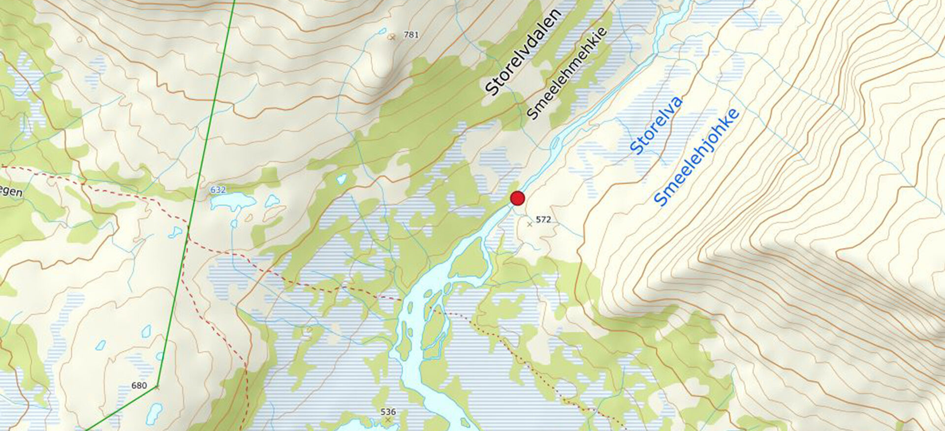
Storelvdalen valley/The Jengel trail
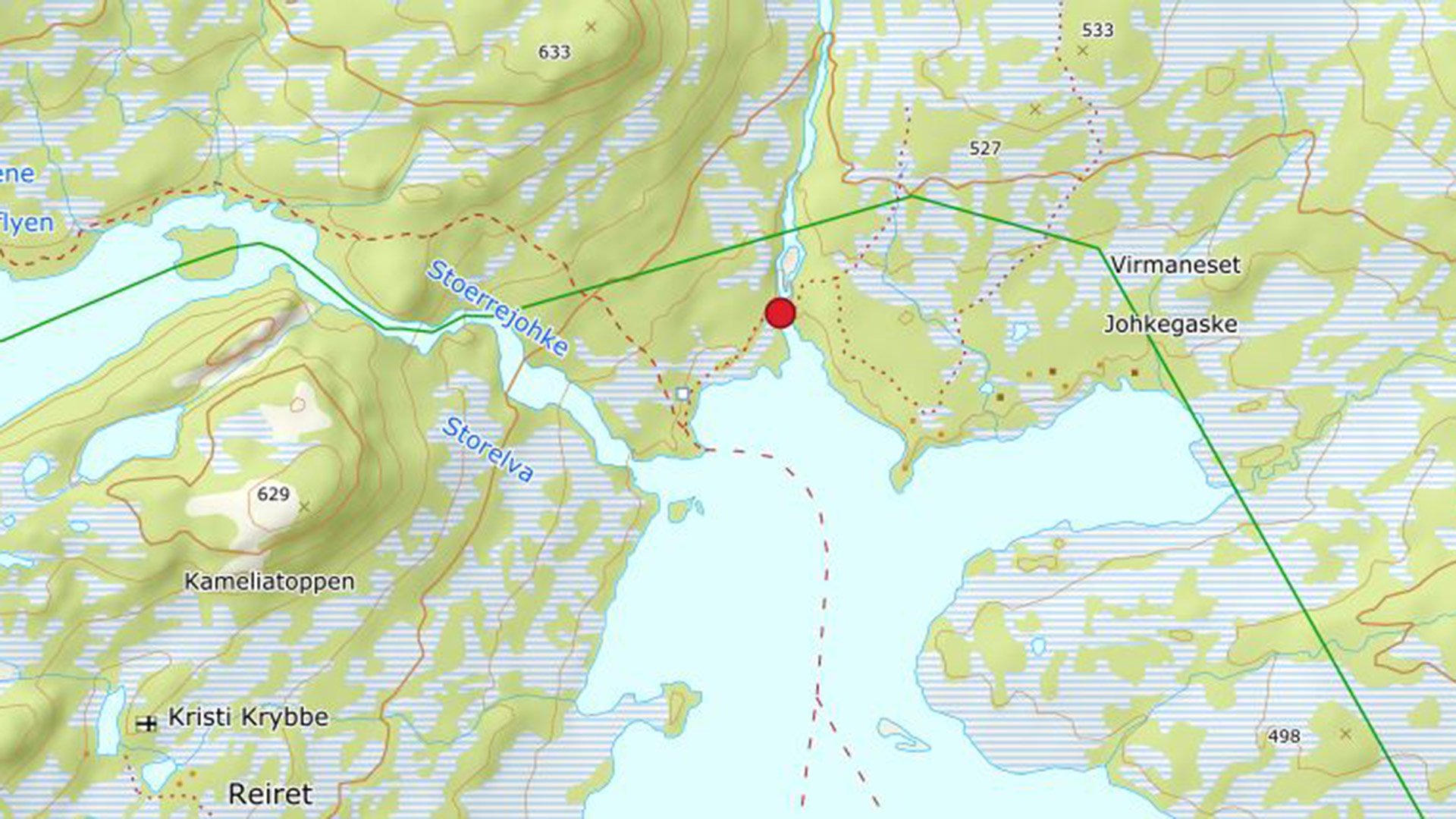
To cross the Storelva river on the Jengel trail, you can use this bridge 950 m upstream.
Bisseggelva river in Simskardet
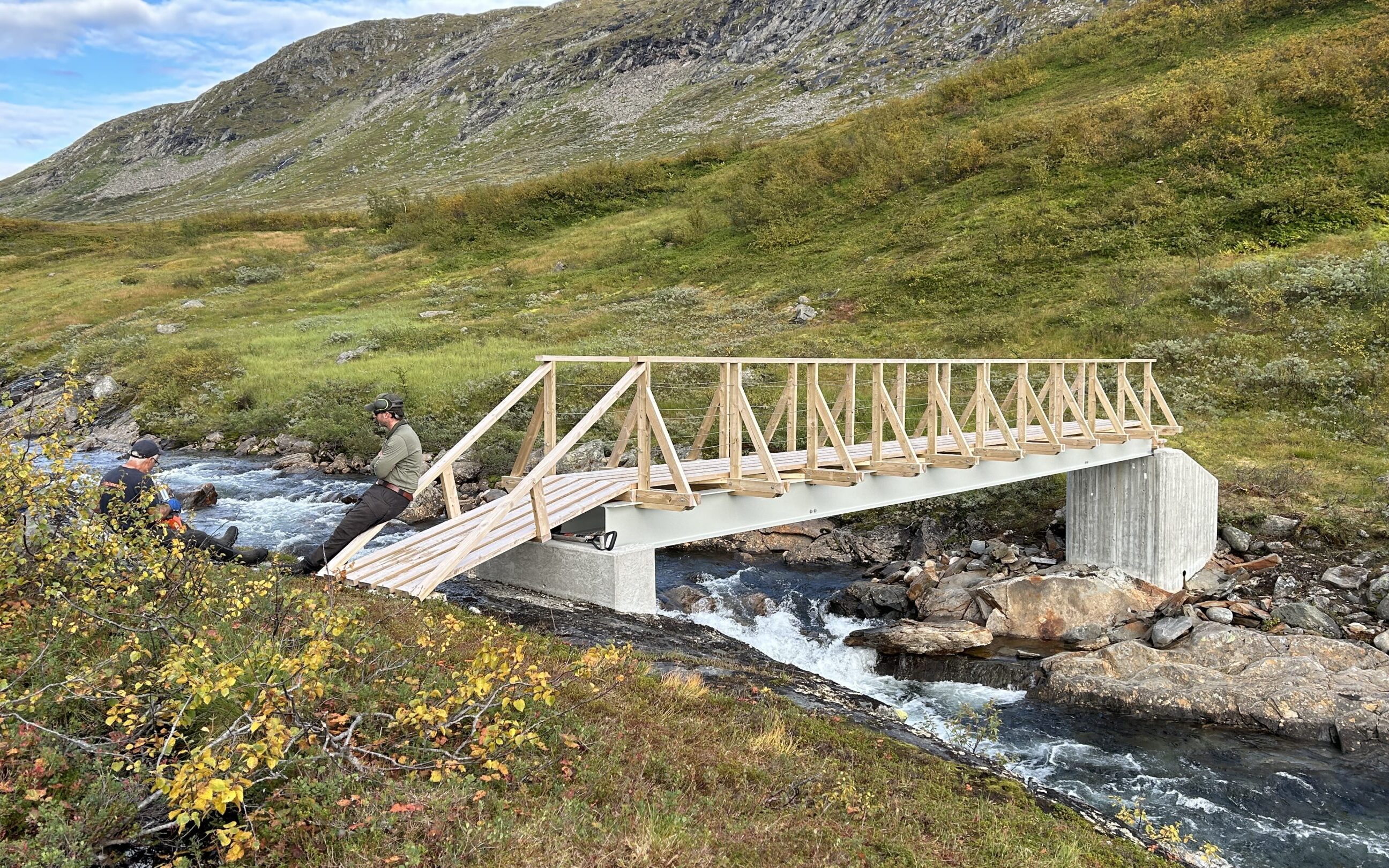
This bridge across the Bissegggelva is used on the Simskard circuit. It also enables hikers to cross the river when hiking towards Bisseggskardet
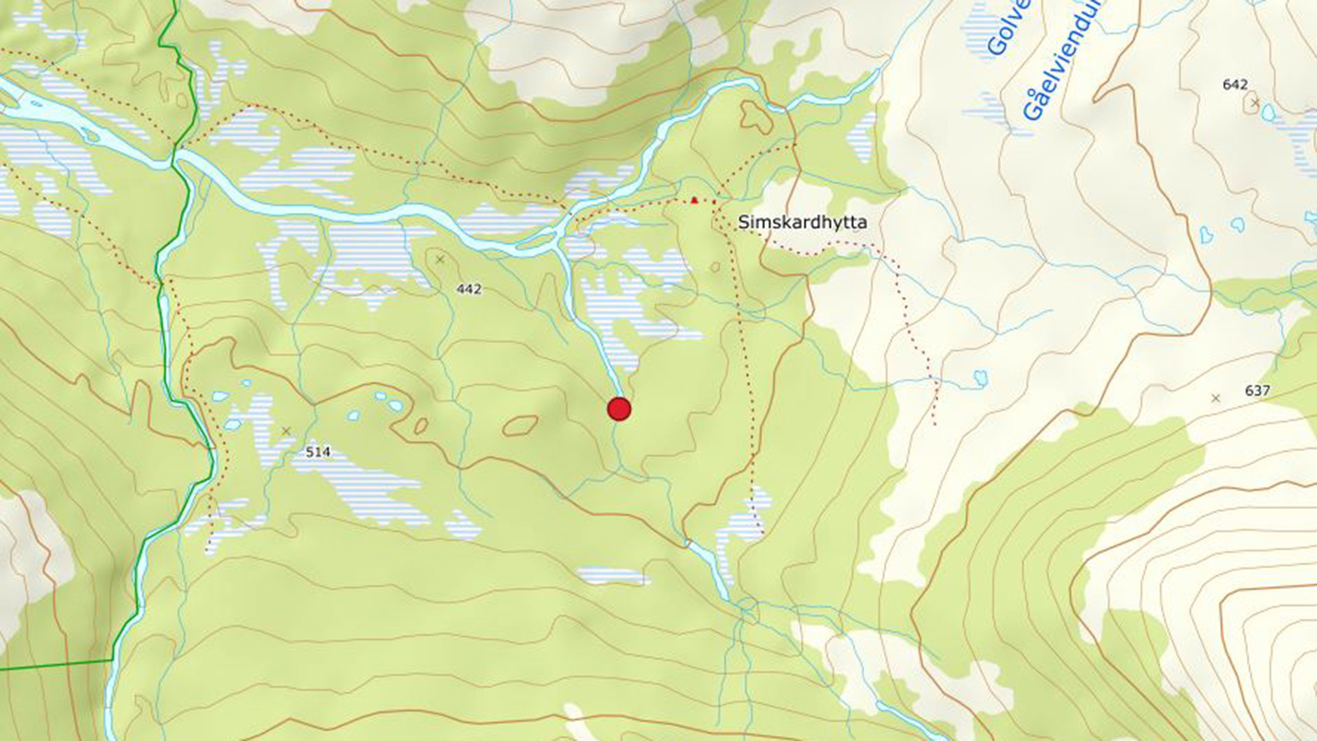
Golverskardelva river in Simskardet
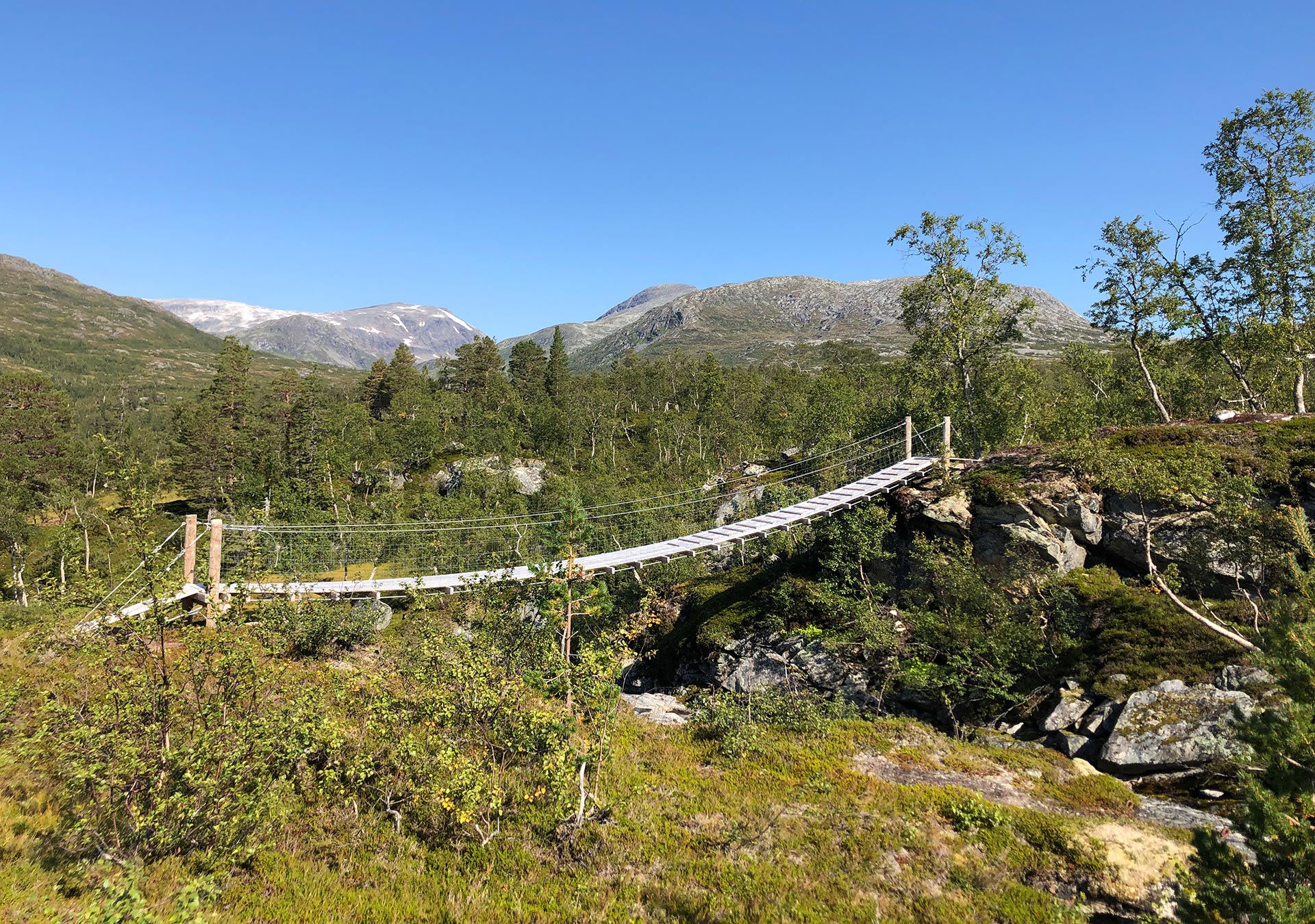
This bridge across the Golverskardelva river is used on the Simskard circuit. It provides access to Simskardhytta hut and eastern parts of the area.
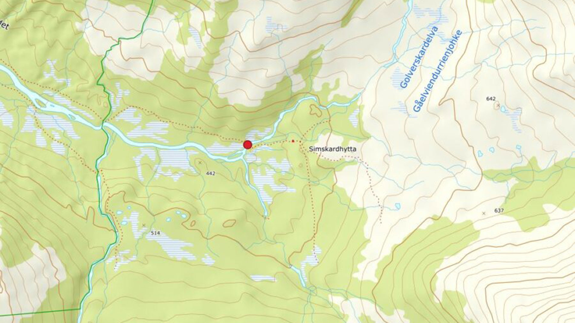
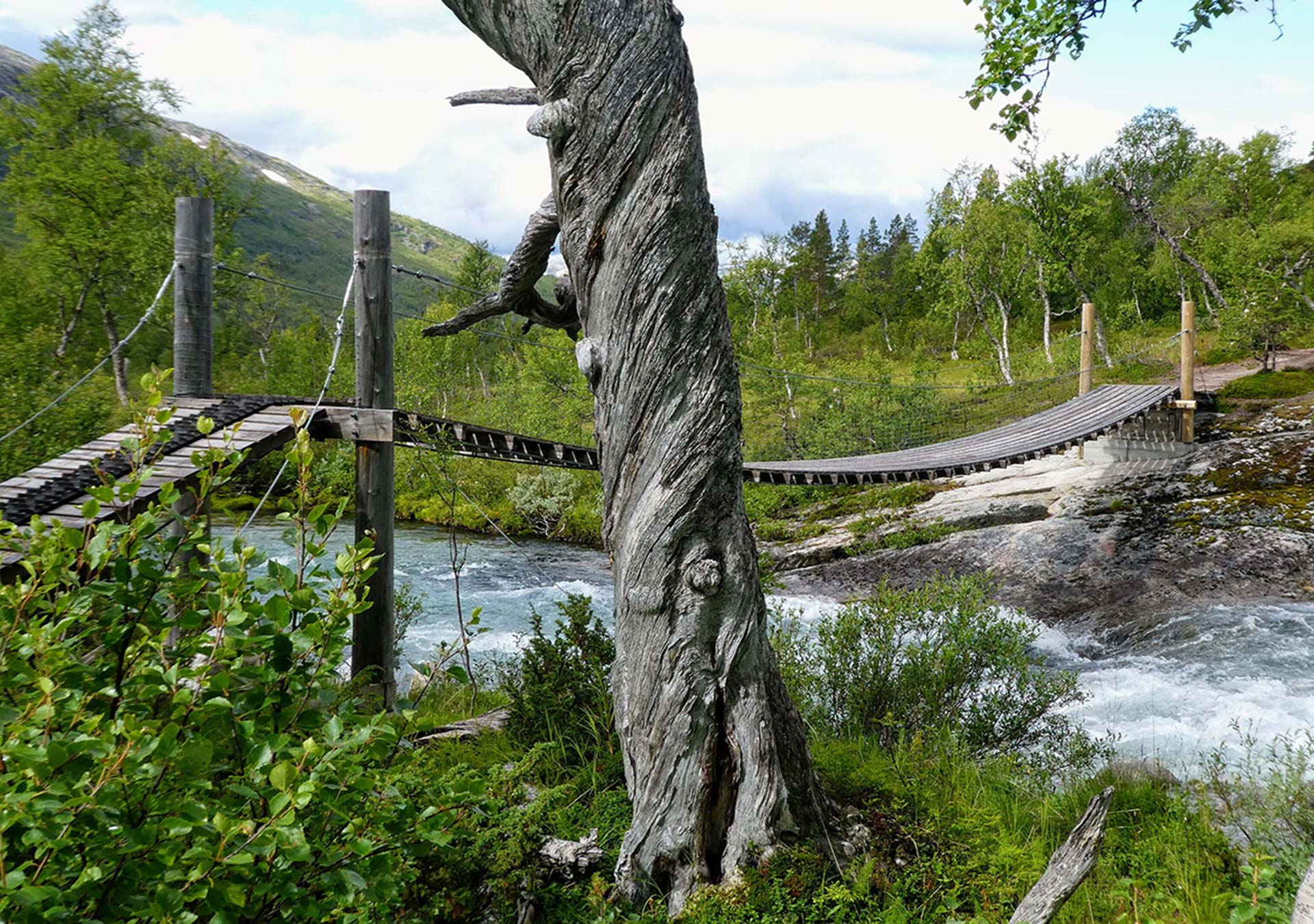
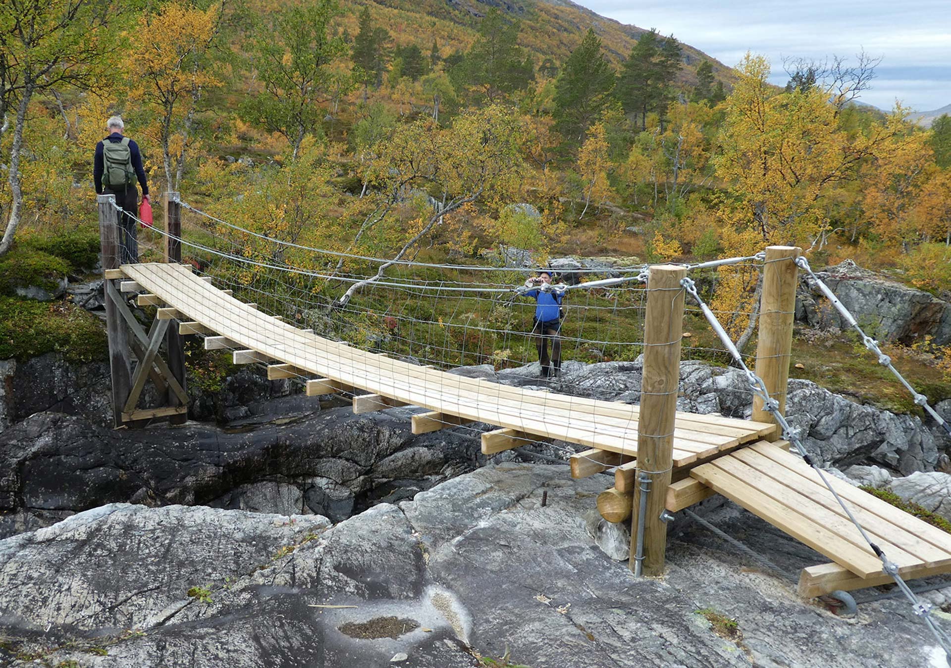
Rørskardelva river in Simskardet
This bridge across the Rørskardelva river is used on the Simskard circuit. It provides access to the eastern side of Rørskardet
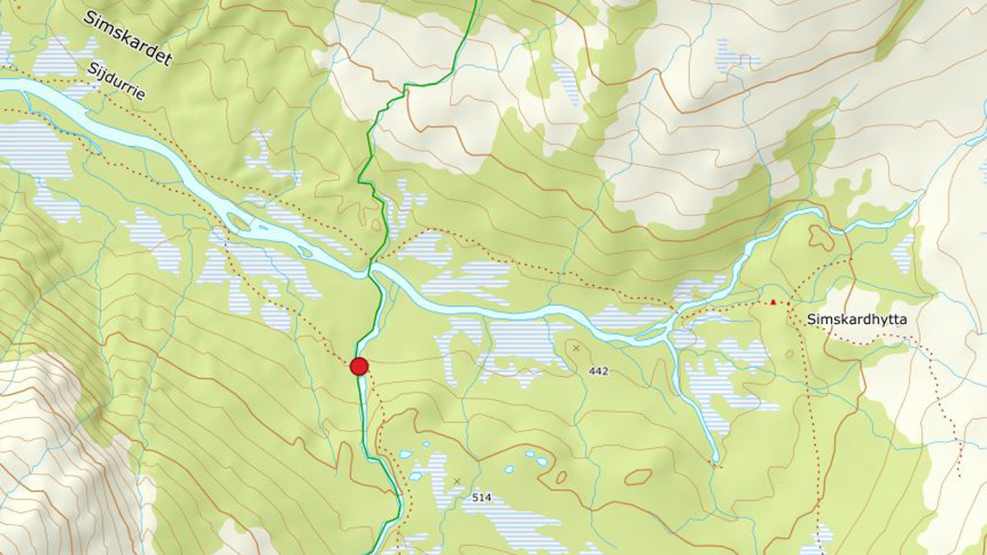
Orvasselva river
This bridge can be used to cross the Orvasselva river in the lower part of the Orvassdalen valley. A wooden walkway leads from the gateway to the bridge on the southern side of the river.
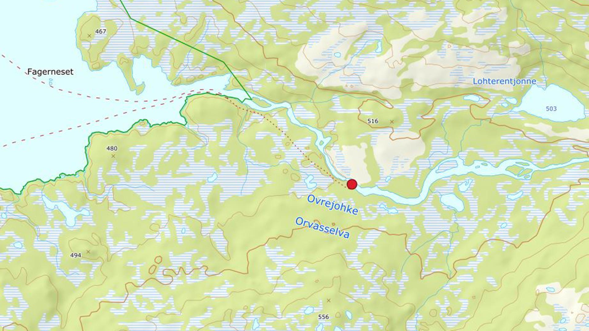
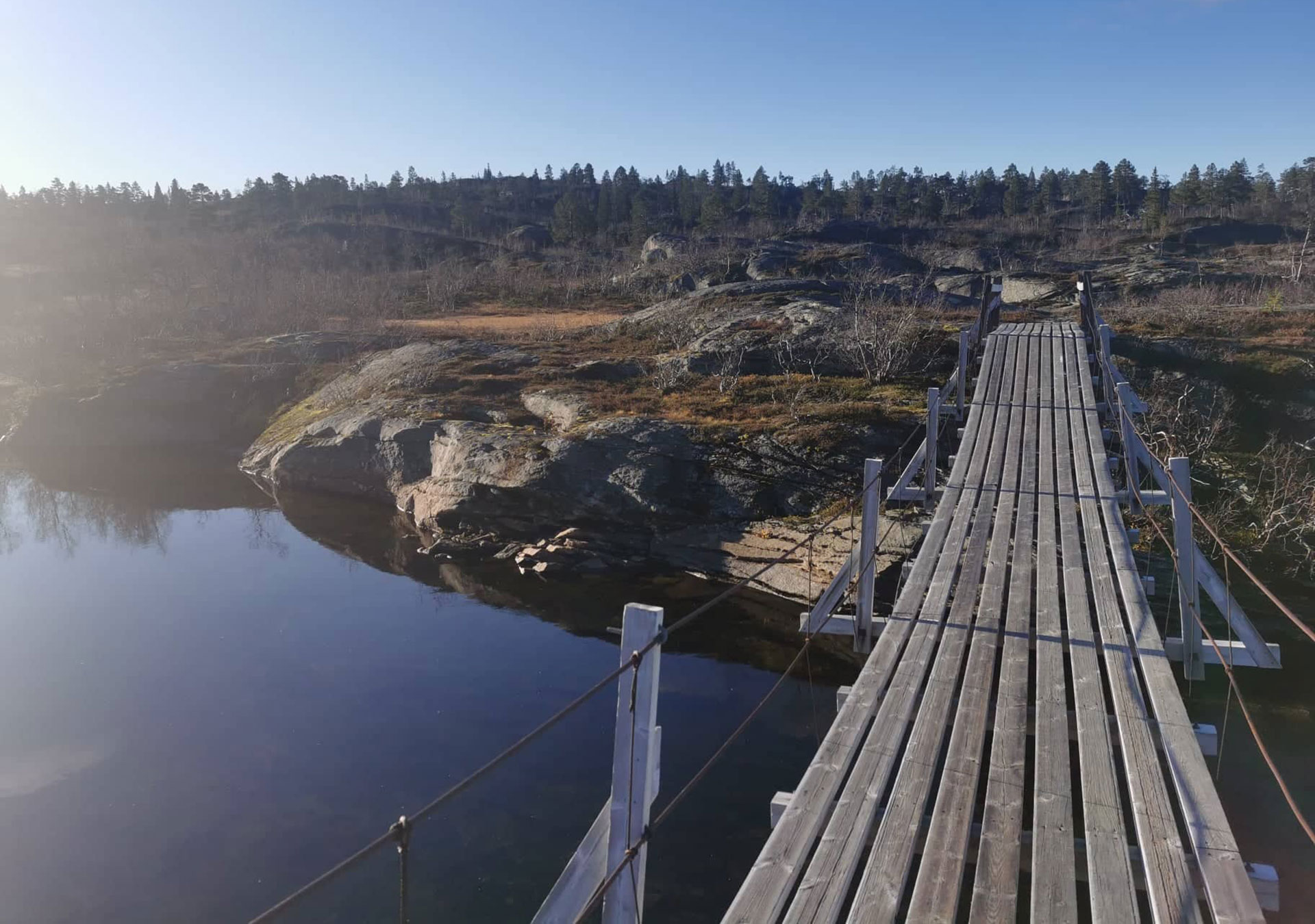
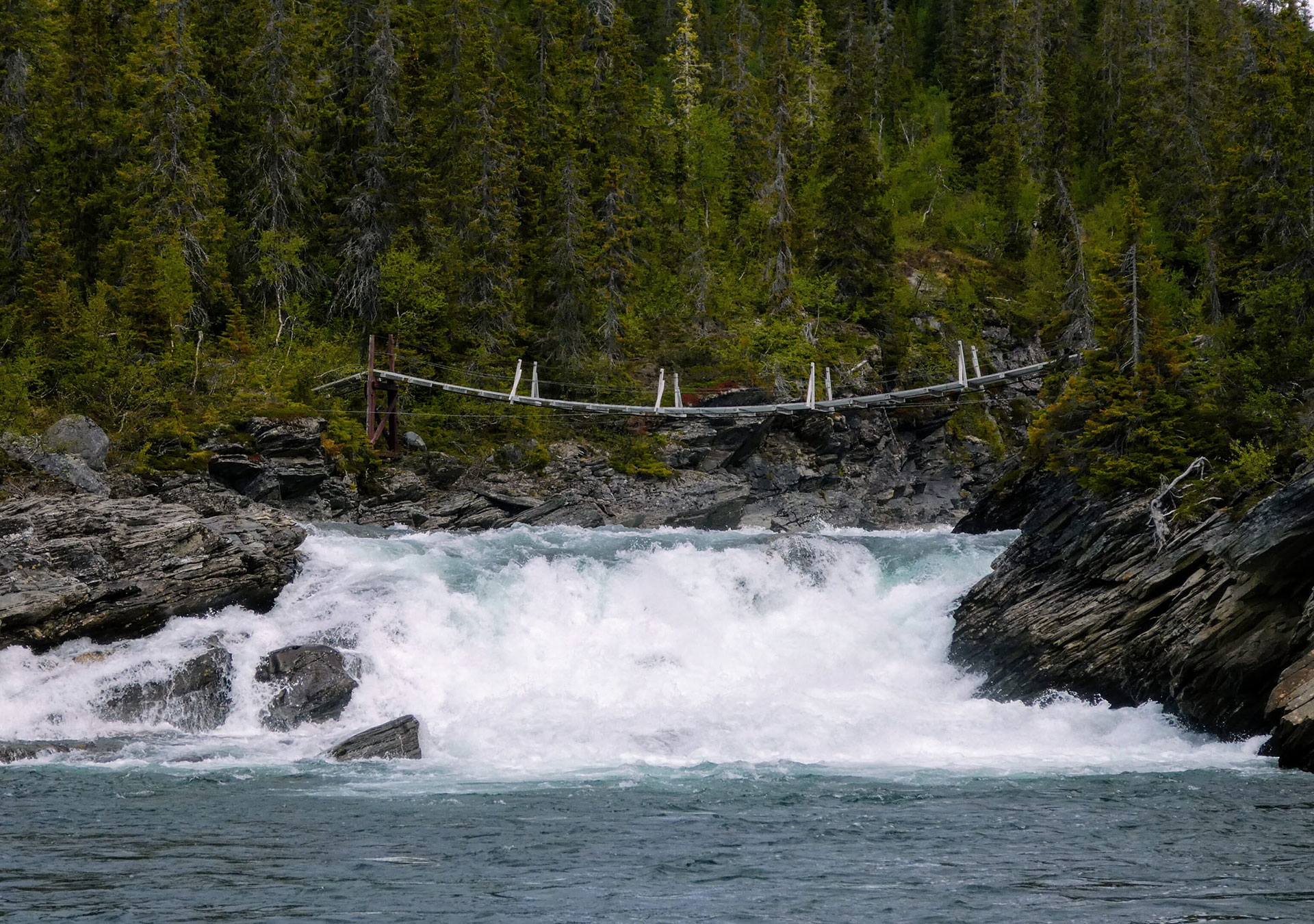
Virmaelva river
This bridge can be used to cross the river Virma near lake Namsvatnet. It provides access to hike on the eastern side of the river.
Storelva river in Namskroken
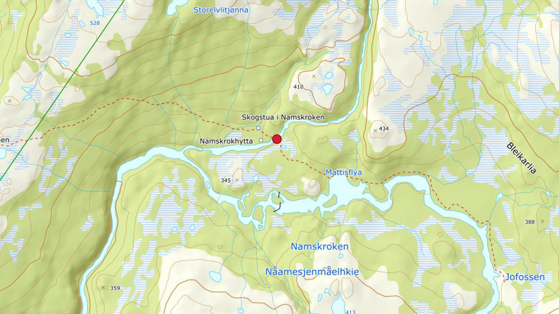
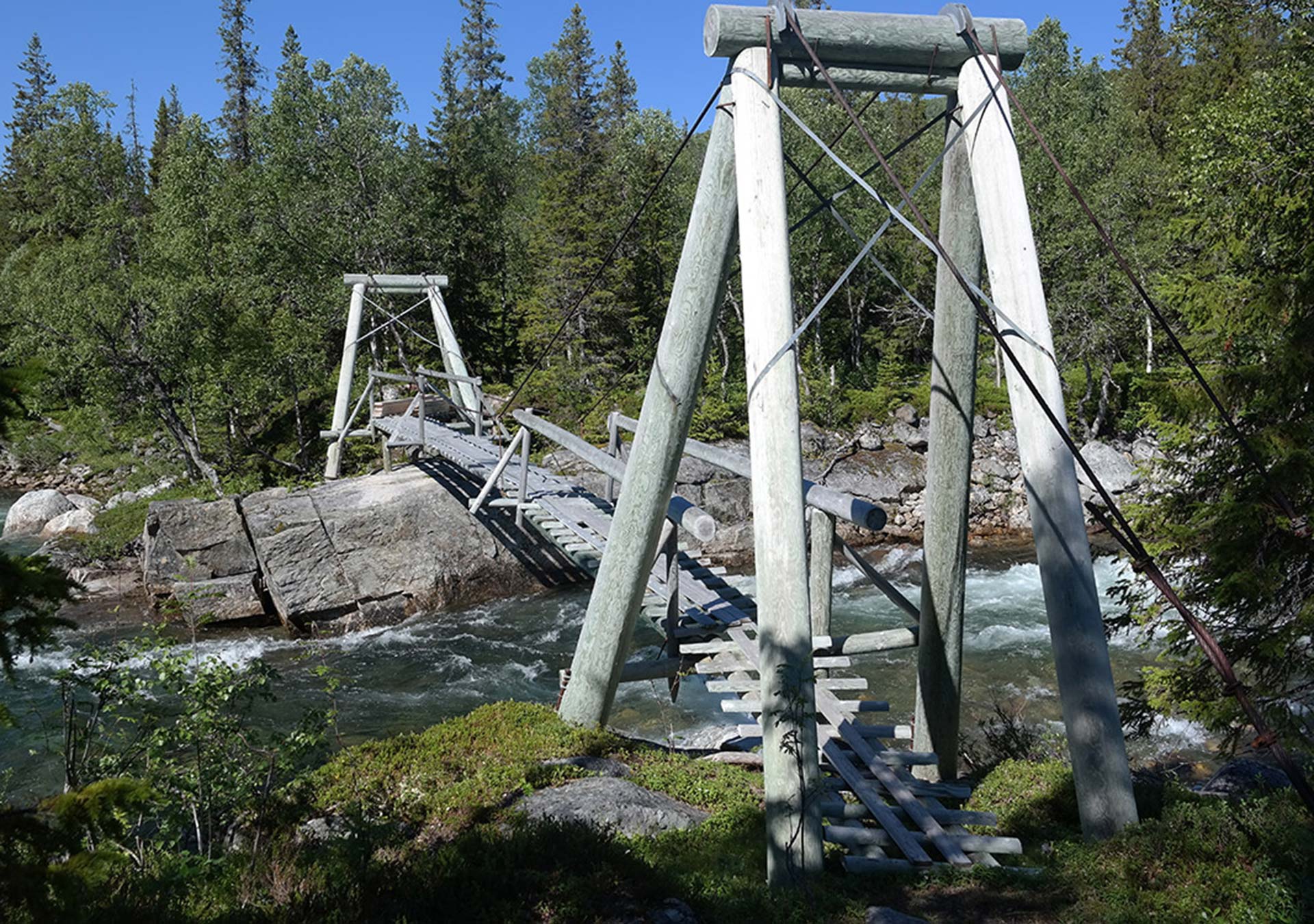
This bridge across the Storelva river in Namskroken is situated just east of the cabins owned by the Namsskogan Mountain Board. Please note that there is no bridge over the Namsen river.
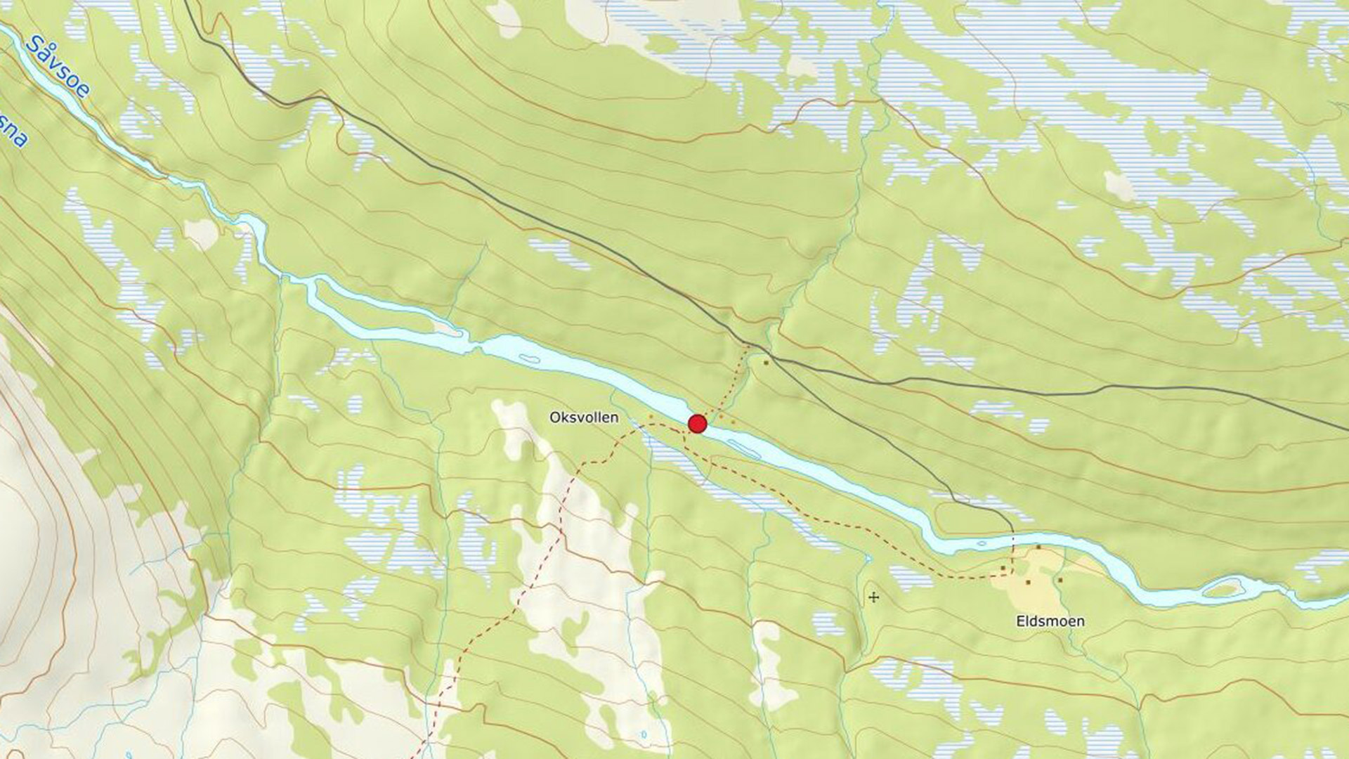
Susna river near Oksvollen
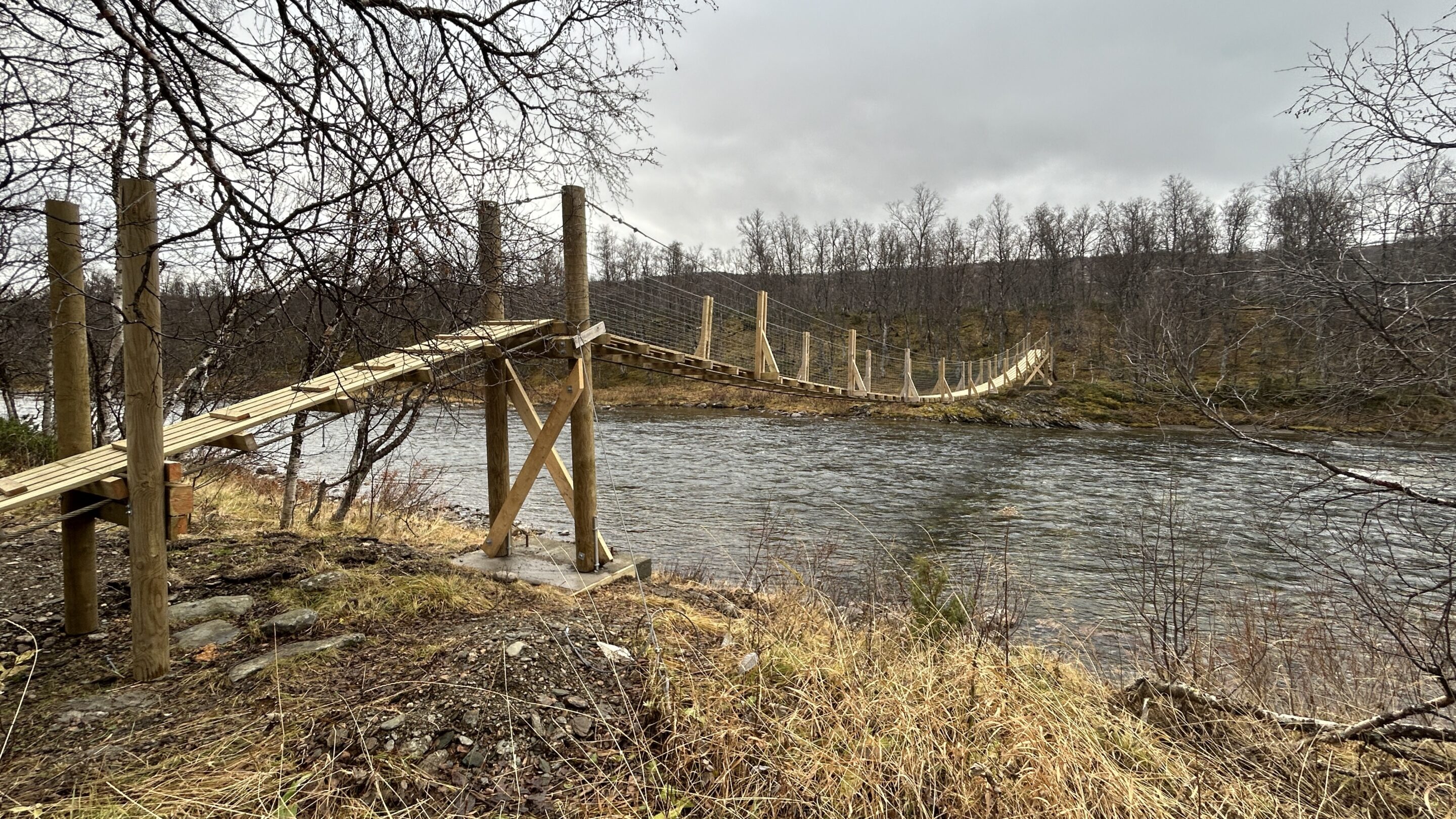
This bridge across the Susna river is situated near the gateway at Oksvollen in Susendal. It provides access to the Austre Tiplingan protected landscape area.
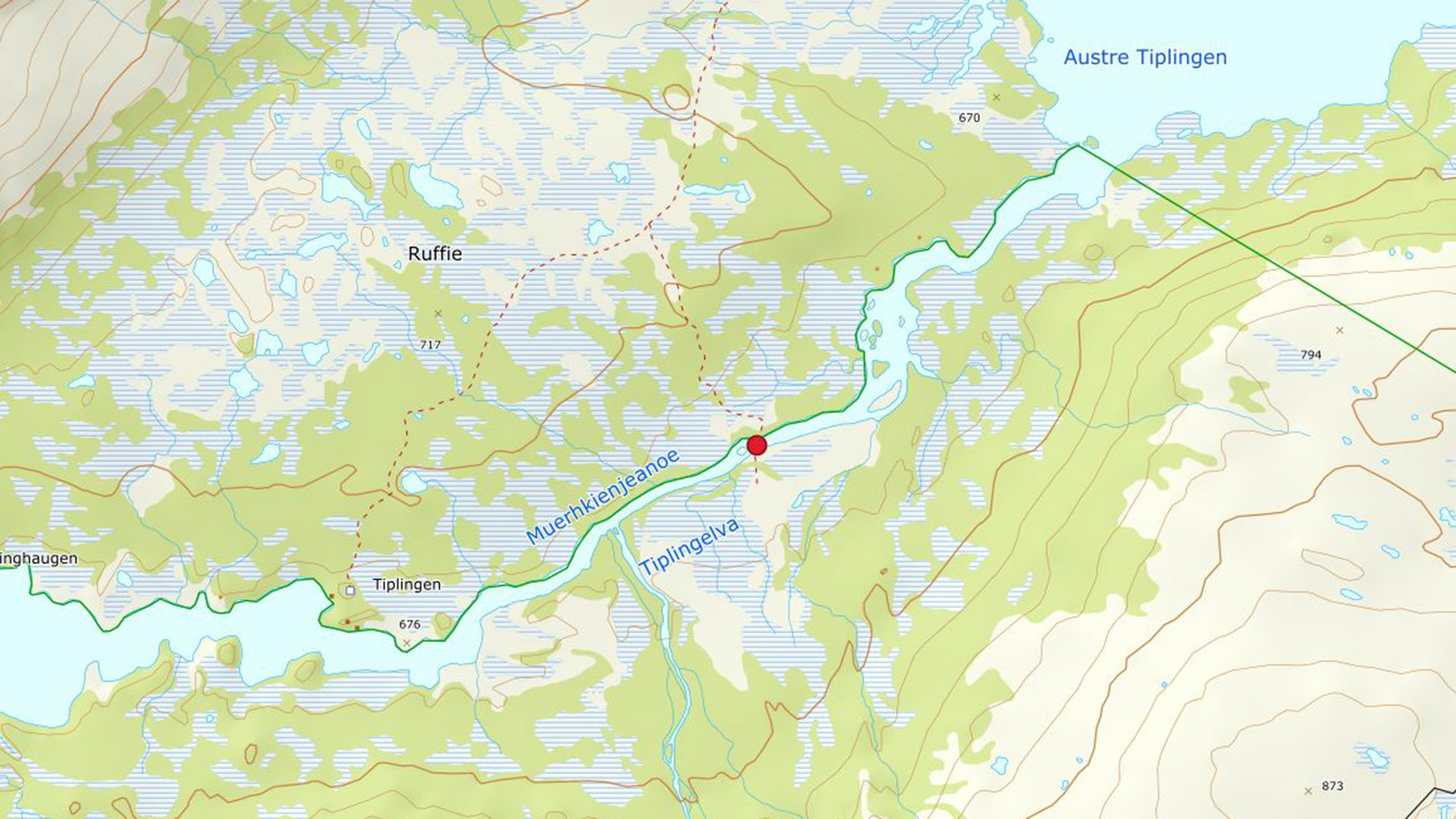
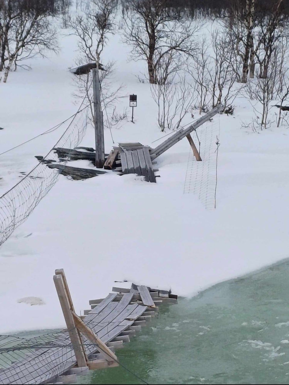
Bridge over the Tiplingelva
Note: The bridge was destroyed by flooding in the winter of 2025 and will not be passable in the summer of 2025
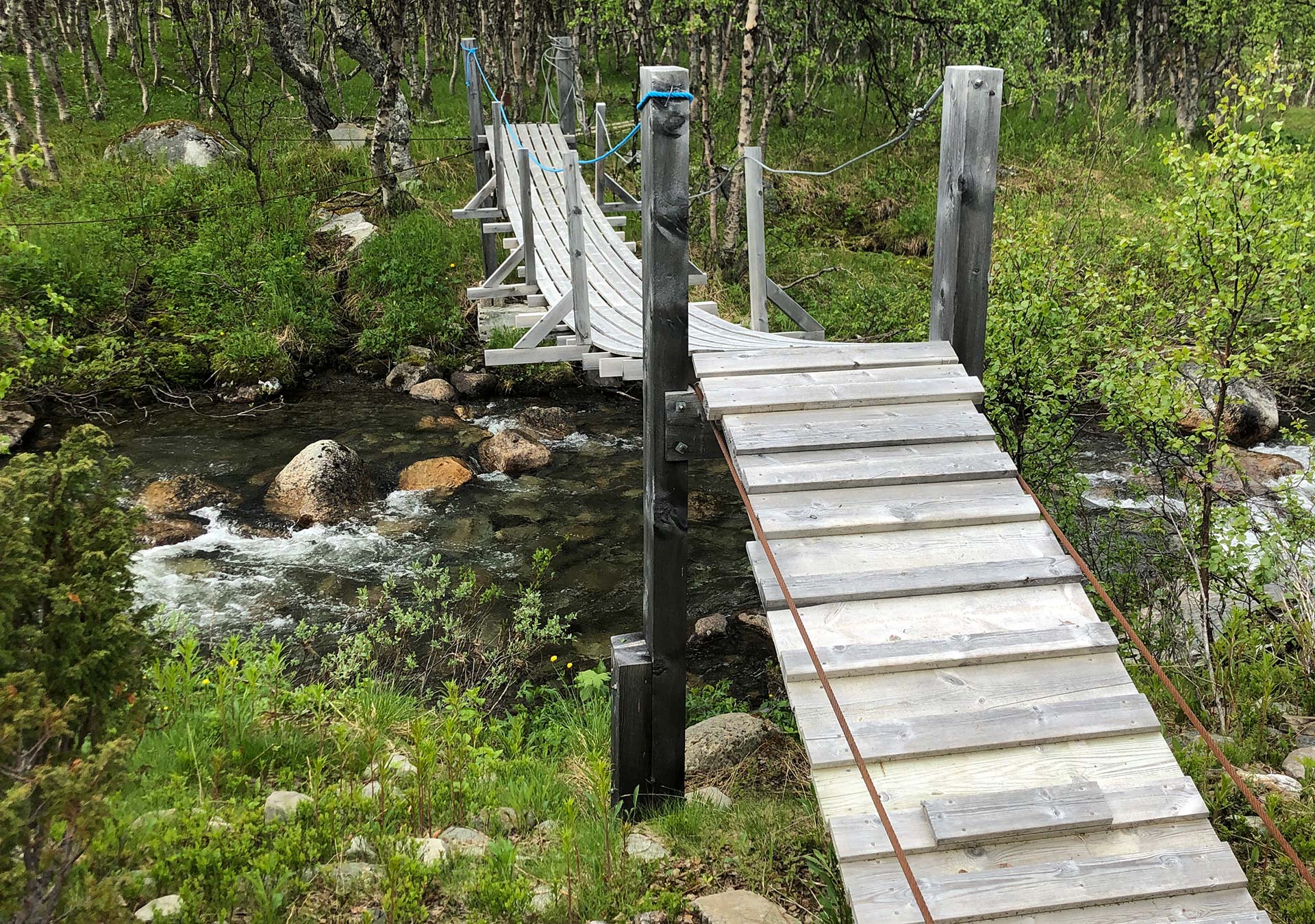
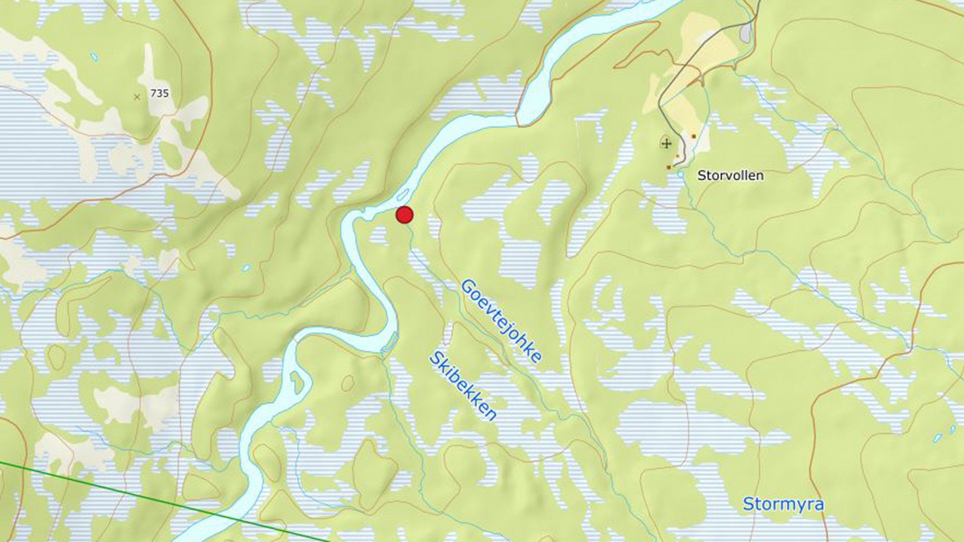
Skibekken stream
This small bridge can be used to cross the Skibekken stream when the water level is high. It is no problem to wade the stream when the water level is normal.
