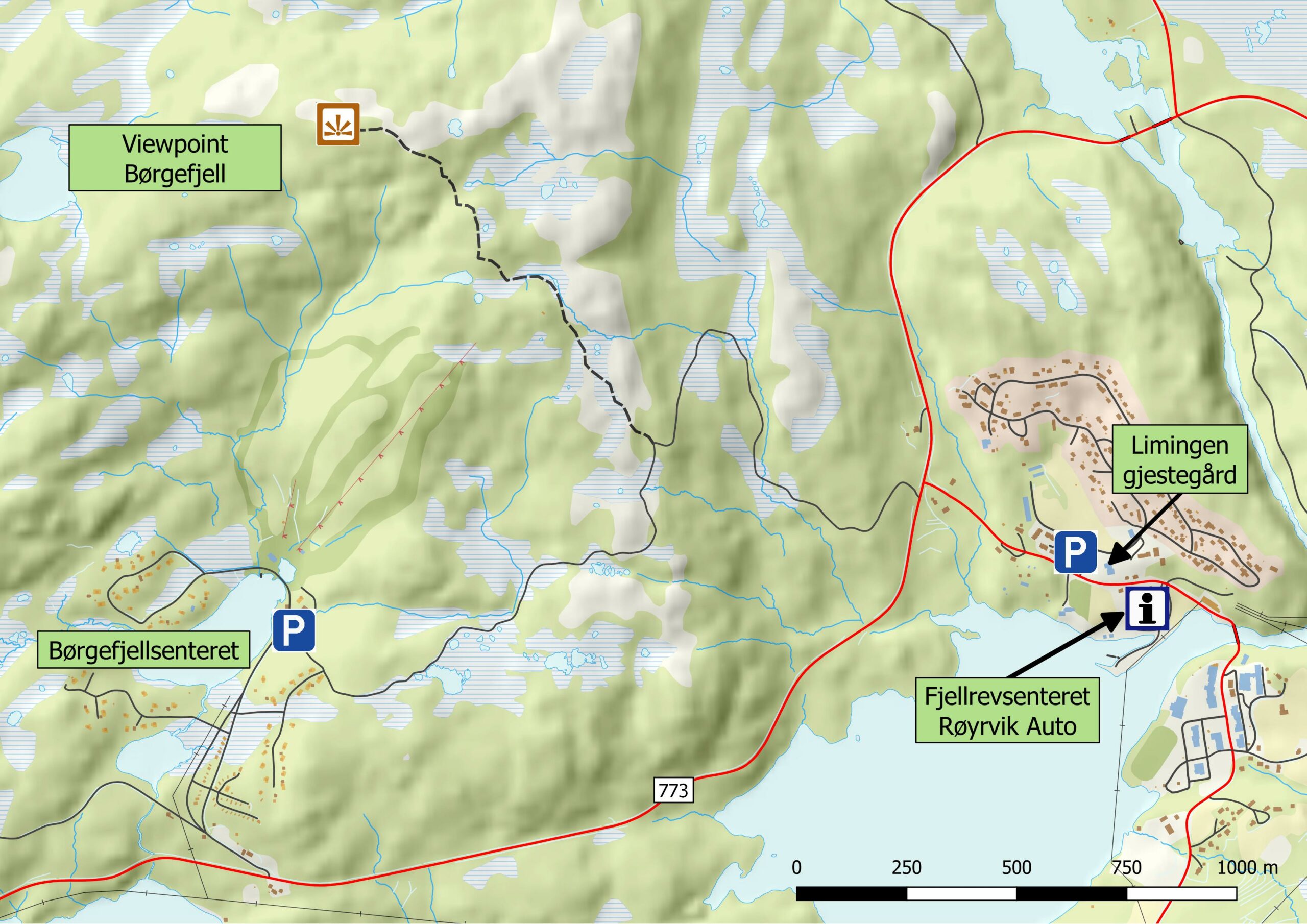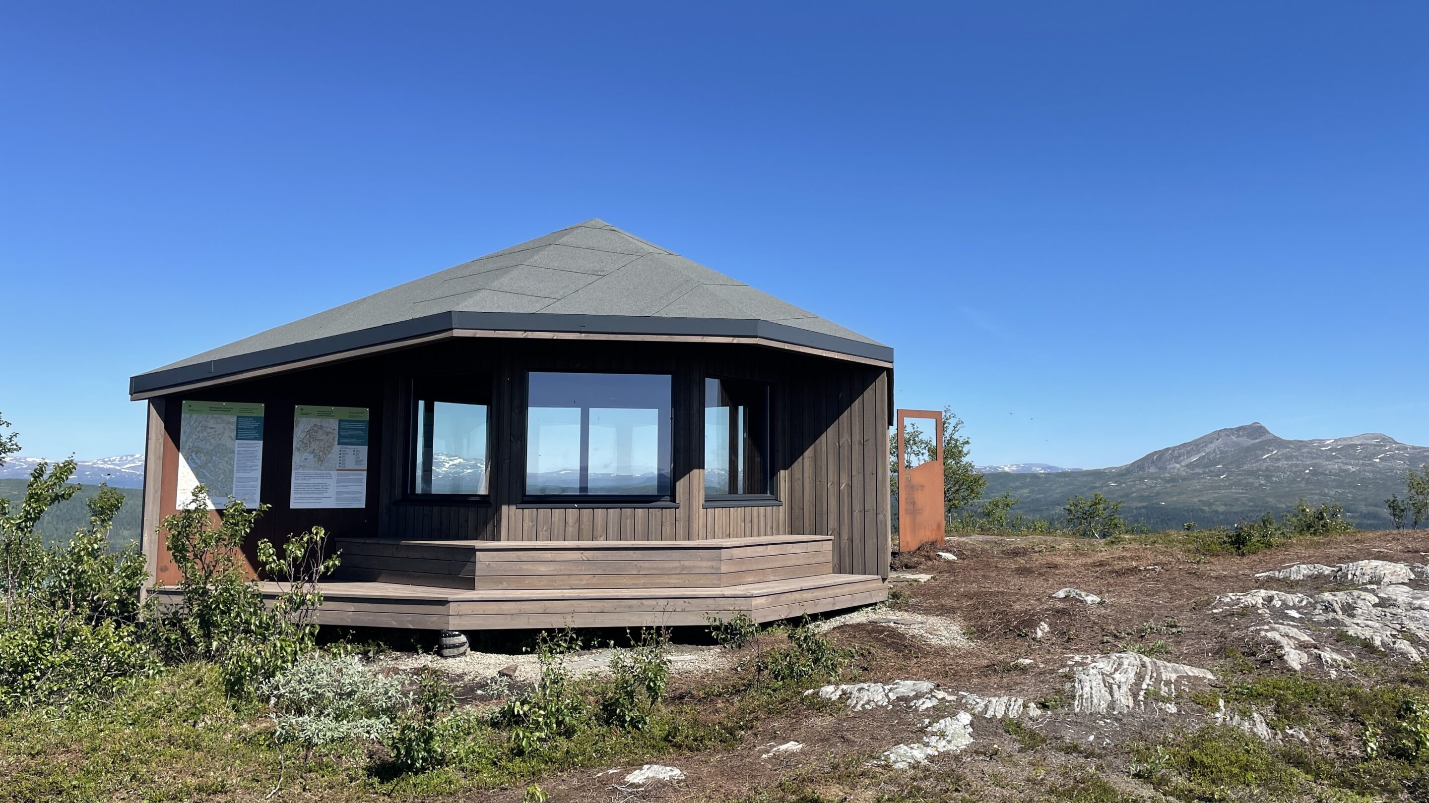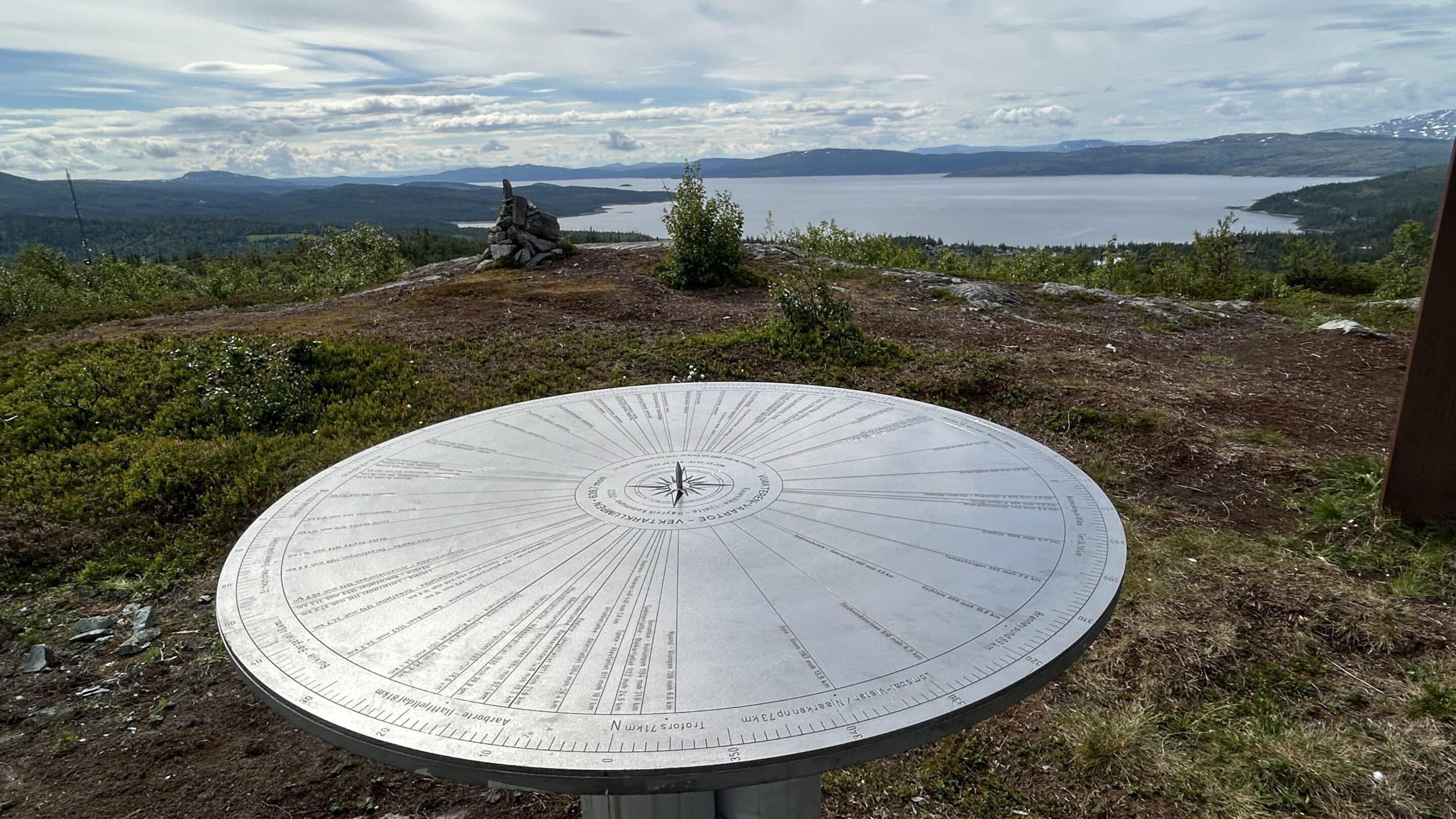
Viewpoint Børgefjell in Røyrvik is a 360° panoramic vantage point offering views of many of the mountains in the area.
Route description:
From Røyrvik village: Follow the road from Røyrvik to junction with route 773. Cross route 773 and then follow the hiking trail signposted “Børgefjellsenteret” for approx. 1.2 km until you reach the highest point of the trail. You will see the start of trail with a wooden walkway on your right-hand. Turn off here and follow this up to the top of Vekterklumpen. There is a clear path all the way up. The total distance from Røyrvik village to the viewpoint at the top is 2.8 km.
From Børgefjellsenteret: Follow the hiking trail for approx. 1.4 km to the highest point of the trail and then turn left onto the wooden walkway, which leads to the top of Vekterklumpen. The total distance from Børgefjellsenteret to the viewpoint at the top is 2.55 km.
We wish you a nice hike!
For more information, a route map and photos, please check this hiking route on ut.no


Click here to watch video from Viewpoint Børgefjell – remember to select full screen mode
21.06.2020
